Drone operators are finding more ways the technology can be useful in farm building construction.
“You quickly realize after flying this thing around for five minutes that you’ve got to start doing things with this technology,” said Adam Caldwell, the lead drone pilot for the virtual design and construction (VDC) division of Canada-wide industrial and institutional construction experts Maple Reinders. He made the comments during a presentation on March 25 to the Canadian Farm Builders Association (CFBA).
WHY IT MATTERS: Several member companies at the CFBA conference indicated they have begun using drones, with Caldwell aiming to outline where the technology can be most effective.
Caldwell’s previous construction industry experience was doing locates and conducting thermal imaging of buildings. After getting into drone operation, he taught at Fanshawe College, eventually bringing on two of that program’s graduates to serve in what he referred to as “reality capture” as drone pilots for Maple Reinders in Ontario.
“High-accuracy drone mapping,” he said, is useful starting from before the contractors and subcontractors show up to prepare the site “right through to when the work is done, to show what exactly has been completed.”
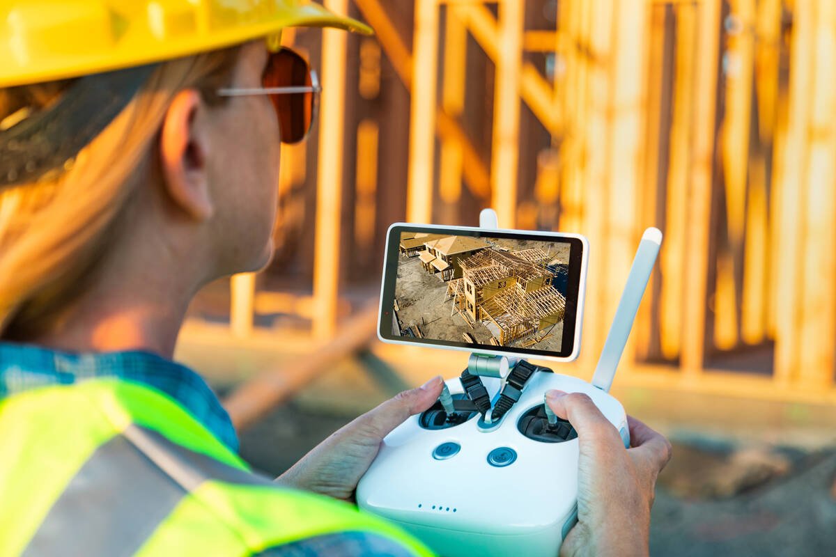
Prior to a build, Caldwell’s team typically sets out GCPs (ground control points) and determines GPS coordinates on the existing terrain that allow the drone to establish a 3D grid of the site. Through this, you can create “spot-on, map-to-map, repeatable mapping points that you can refer to throughout the construction project.”
On a set schedule, his team will visit the construction site and take a “globe” of photos, then “stitch them together” to display what progress has been made. “It’s very quick to produce, very quick to process and very quick to share out.”
Caldwell showed a side-by-side slide of panoramic images taken at a construction site on two different dates. These can be overlaid directly with the plans — electrical plans, floor plans, et cetera — to allow comparison of progress to completion schedule. “You can put multiple layers over the existing condition.”
This also allows for detection of incorrect installation or construction compared to what was initially planned.
“A good day for me finding issues is a bad day for someone else,” he said. “But we’re solving these problems before we move ahead with the next phase” or “before the installer (of the problematic element) is off-site working on another job.”
He doesn’t like being on-site while construction is underway but adds that his employer has recognized the importance of the work his team does in contributing to the timely completion of projects. “Construction moves fast. The most our team gets to a site is weekly. But things are sometimes installed in a day,” Caldwell commented.
So Maple Reinders has begun training some of the on-site personnel on drone usage and image processing.
Estimating volumes and slopes
Another drone application is volume calculations for aggregate piles. “One hour of mapping, two to three hours of processing and this quarry is getting accurate data back about the volume of material,” he said.
Maple Reinders uses the technology for assessing slope and/or flatness on completed projects such as roofs, sidewalks or parking lots. He showed a slide from when a project owner argued the sidewalk had been installed incorrectly so that the storm water drained on to it. Images provided through a drone flight proved this was not the case.
When he was doing thermal imaging all across Canada, it was work that was done all by hand, often late at night when the thermal differences showed up best, often on ladders to reach hard-to-access locations in a building. He recalled being in remote areas working alone on a ladder and thinking it wasn’t the safest situation.
“The drone allows you to look directly at a structure from the side or directly from above,” he explained, adding the job of thermal imaging has become much safer and often more accurate thanks to the technology.
The post Drones maneuver their way into farm construction appeared first on Farmtario.


