3 min read
Curiosity Blog, Sols 4982–4987: Back to Our Regularly Scheduled Programming
By Allison Dries-Padilla, Missions Operations Specialist at Malin Space Science Systems
Earth planning date: Friday, Aug. 14, 2026
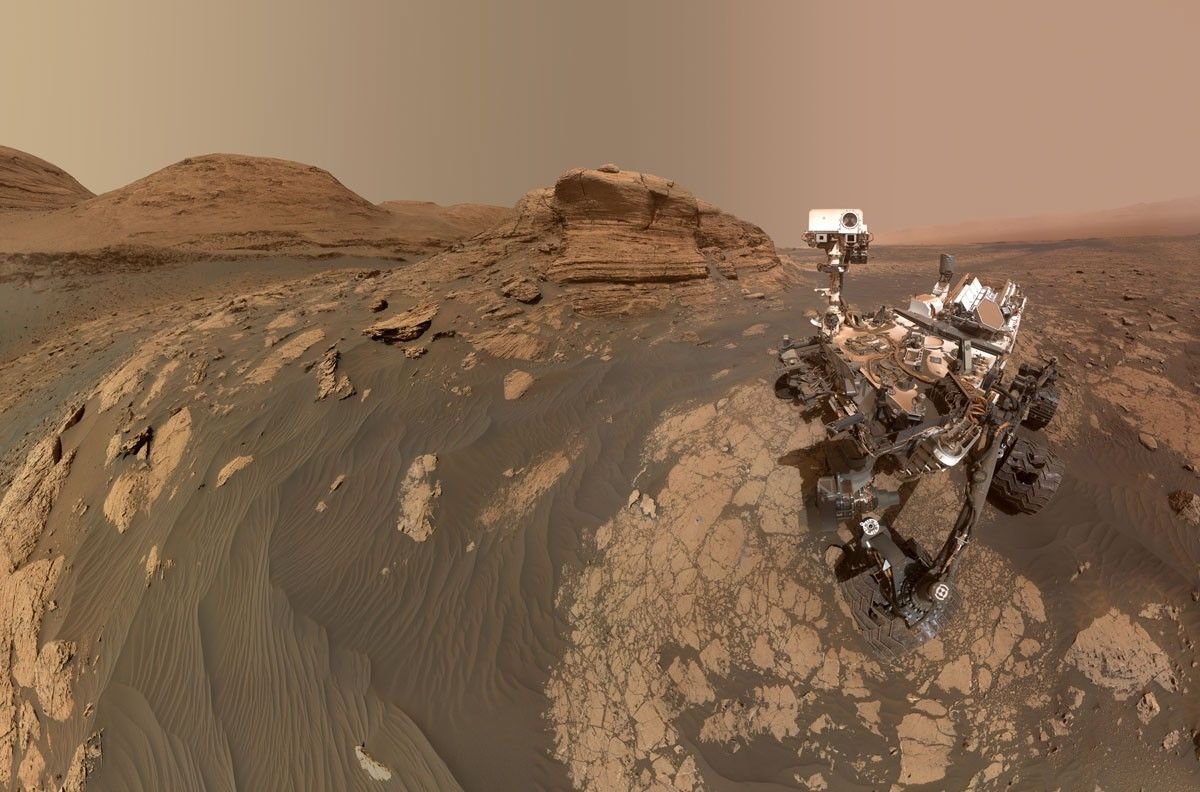
This week of Curiosity Mars rover operations takes us back to our “regularly scheduled programming.” After taking a slight detour to investigate the “erosional surface” we are back on course to ascend Mount Sharp. As we transition into fall in Gale Crater, temperatures and the likelihood of dust storms begins to drop, but Curiosity is still on the lookout for the last gasp of late-season local and regional dust storms.
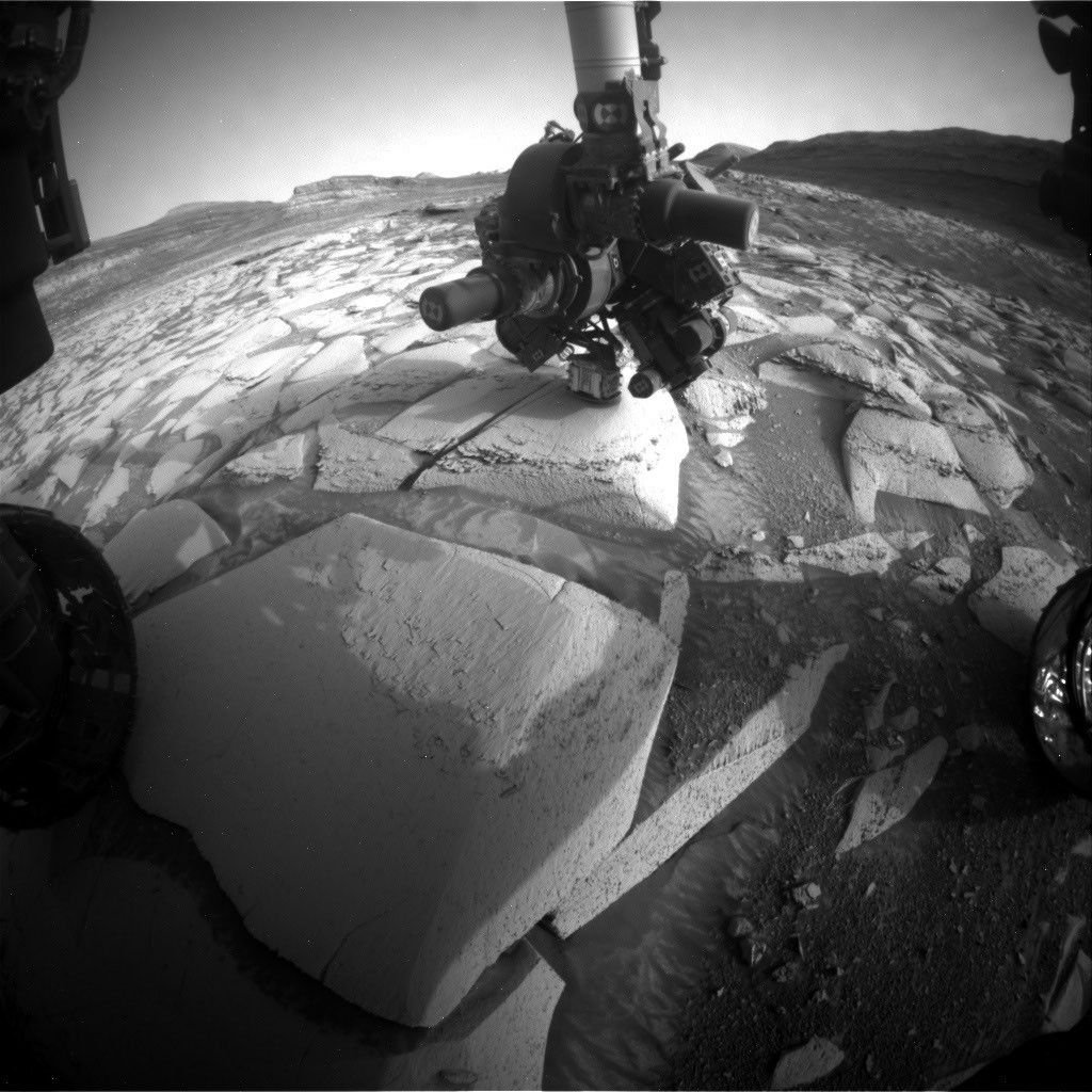
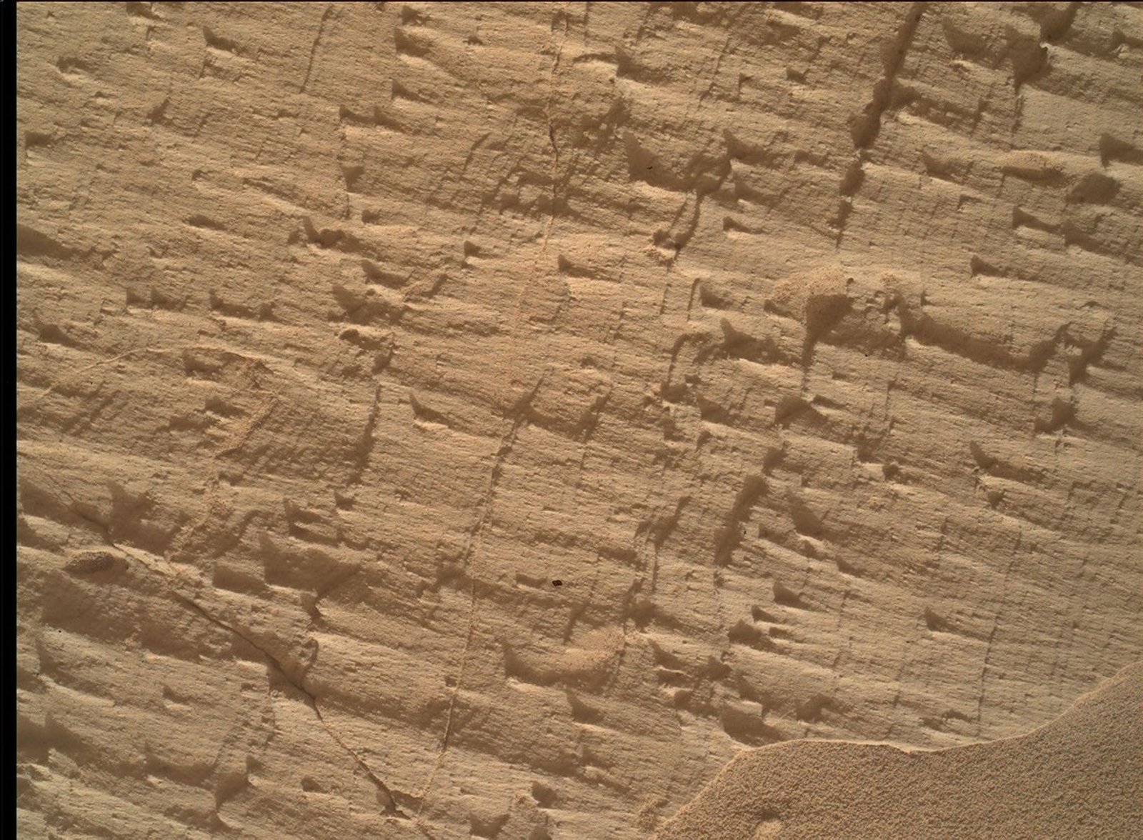
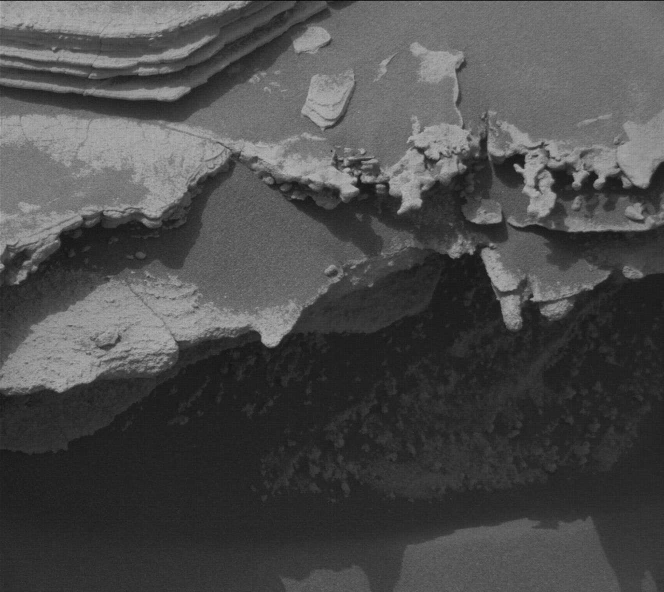
Monday’s plan for Sols 4982 to 4985 began with Curiosity standing face to face with a unique geologic feature just above the erosional supersurface contact. As you might have read in the previous blog, the team was fortunate enough to spend two planning cycles at this amazing location. MAHLI used this opportunity to reacquire selected images for the mosaic of target “Tres Morros.” This will allow the science team to have a detailed and focused view of the underside of this feature. APXS took measurements of the bedrock target “El Motacusal” after it had been brushed with the DRT. APXS took a second measurement on the “as is” bedrock target “Alto de Carmen.” Both of these APXS targets were documented with high-resolution images taken by MAHLI. ChemCam activities include LIBS spectroscopy on bedrock targets “Lagunas Bravas” and “Parququcha” and ChemCam Remote Micro-Imaging on Mishe Mokwa. I had the pleasure to be on the Mastcam uplink shift for this plan. Mastcam took a near-field mosaic of the erosional ridge, dubbed “Los Toldos,” as well as a mosaic on further away bedrock exposure above the erosional surface, named “Los Ladrillos.” In addition to these mosaics, Mastcam also provided color documentation of the previous plan’s ChemCam Remote Micro-Imaging on Cordillera and the ChemCam LIBS activities taken in this plan.
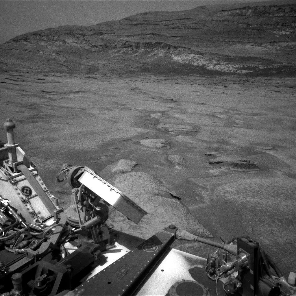
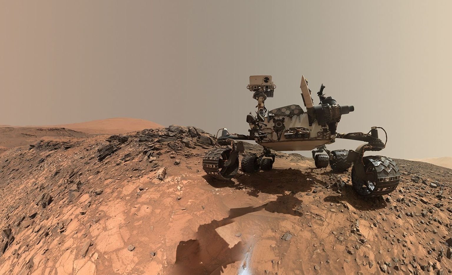
Curiosity then drove 100 feet (30 meters) to take us to our location for Friday’s plan for Sols 4985 to 4987. Although we had plenty of flat and tasty bedrock in this new location, we could not place the robotic arm in a safe position to DRT the bedrock. The left-front wheel was perched on a small rock, and we had to account for a risk the rover could slip off this rock as we move the arm around. MAHLI and APXS were still able to safely perform contact science on two bedrock targets, “Mamorecillo” and “Aguas Claras.” MAHLI had an additional housekeeping activity to image the calibration target. ChemCam plans to use its laser spectrometer to gather geochemistry on three targets in this vicinity, followed by Mastcam documentation. Today’s ChemCam LIBS targets include a dark-toned resistant layer in the bedrock “Yura Kasa.” Mastcam is planning a series of mosaics to continue imaging the stratigraphy in the unit above the erosional contact.
Today’s plan was packed with environmental monitoring activities to monitor for dust storms. Mastcam took a flurry of dust-imaging observations to measure optical depth, or “tau,” of the atmosphere. A higher tau value is associated with an increased amount of dust in the atmosphere. APXS joined in on the action by planning an overnight atmospheric measurement. Navcam took on most of the heavy lifting to monitor for dust storms. These activities include multiple large dust-devil surveys, zenith observation, in-crater line-of-sight observations, and suprahorizon cloud movies.
Curiosity will then continue to climb Mount Sharp; the planned drive distance of 150 feet (47 meters) will take the rover southwest of our current location. We will return Monday to start a new week full of contact science, remote sensing, and driving on Mars.