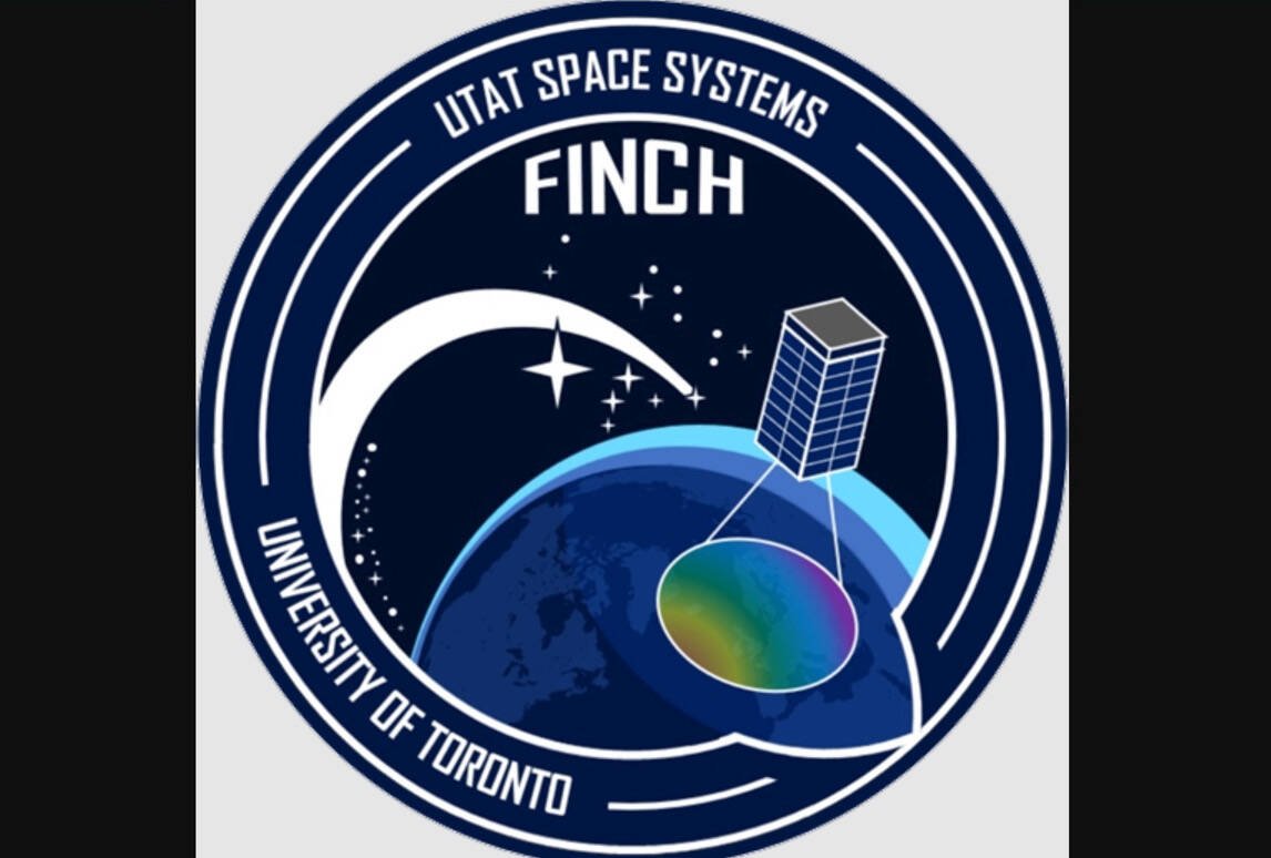
FINCH is a confusing acronym. It stands for Field Imaging Nanosatellite for Crop residue Hyperspectral mapping.
Translating that into plain English — University of Toronto students are designing a tiny satellite, about the size of a house cat, that can measure the amount of crop stubble on farm fields across Canada.
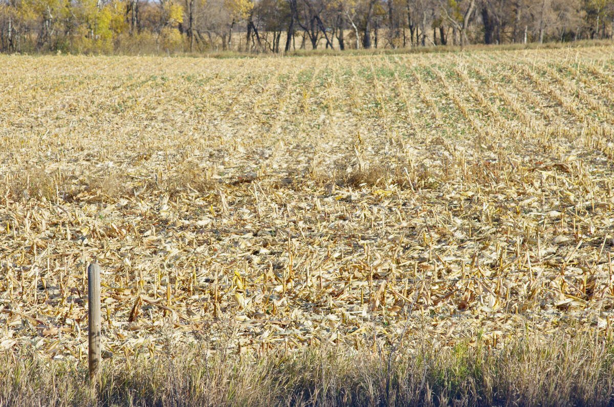
Measuring crop residue is a way to track soil erosion, the amount of nutrients returning to the soil, carbon sequestration and soil organic matter.
The students, almost entirely in their late teens or early 20s, are part of the Space Systems program within the University of Toronto Aerospace Team.
Together, the students are learning how to build a nanosatellite that can map crop residue from low-earth orbit.
“It’s like a friend group (and) we’re developing a satellite, together,” said 21-year-old Ege Artan, a member of the FINCH team.
“We are working on a very cool project. How many undergrads, all over the world, are working on… such a project?”
The students, a group that evolves over time because some students graduate and then new people enter the program, have been working on the project since 2020.
There are other ways to study crop residue across a large geography, such as expensive satellites or drones, but a nanosatellite could be a cheaper option to gauge crop stubble.
Infra-red technology
The FINCH project will rely on shortwave infra-red sensors.
Shortwave infrared is electromagnetic radiation with wavelengths ranging from 1.0 to 2.5 micrometers (µm).
“It isn’t detectable by the human eye, but it can be captured by specialized sensors on satellites, drones,” says an explainer on the GeoWGS84 website.
About 150 students are currently involved in the project, including Artan, who spoke to Glacier Farm Media from his home in Turkiye.
“You can already do this with high-priced satellites, but they are incredibly expensive, so you wouldn’t want to send them to space just for that purpose (measuring crop stubble).”
What is a nano-satellite?
A CubeSat is another name for a nano-satellite, said the Canadian Space Agency.
The ‘cube’ bit comes from the shape of the satellite, which could be as small as a Rubik’s Cube.
These nano-satellites have become more popular, as they can be launched into orbit for $50,000 to $100,000.
The small cubes are assembled to build a larger cube. In the case of the FINCH project, their nano-satellite is about the size of a house cat or raccoon.
To test their device and see if it can effectively map crop residue, the students are collaborating with the EMILI research farm in Manitoba.
A satellite that’s already in orbit, called EnMAP, will assess the crop residue on five fields at EMILI’s Innovation Farms near Grosse Isle, Man.
That data will help the students “ground truth” their technology, said an EMILI release.
If all goes according to plan, the FINCH nano-satellite will be launched in 2028 or 2029, Artan said.
Once in orbit, the next batch of University of Toronto students in the Space Systems program will test the satellite and see if it works as intended.
If the proof of concept is successful, the technology could be deployed in Southeast Asia, Africa, or any part of the world to measure crop residue.
The post Meet FINCH, the U of T crop residue satellite the size of a house cat appeared first on Farmtario.


