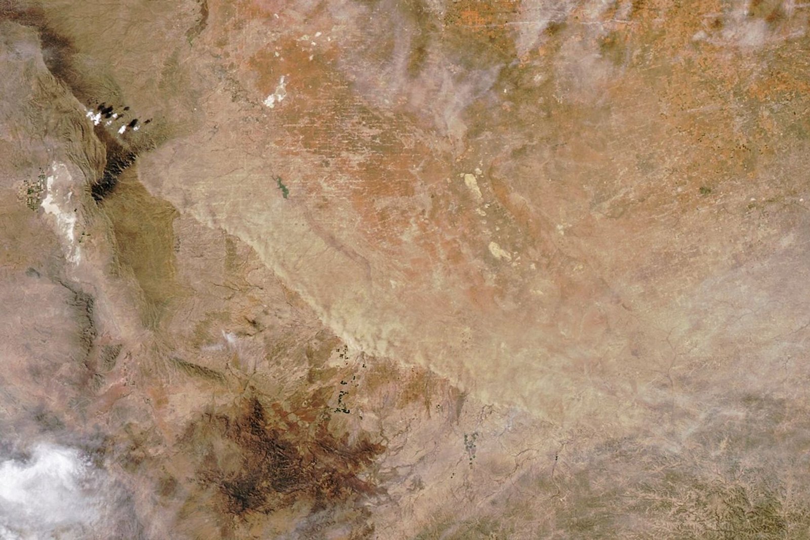
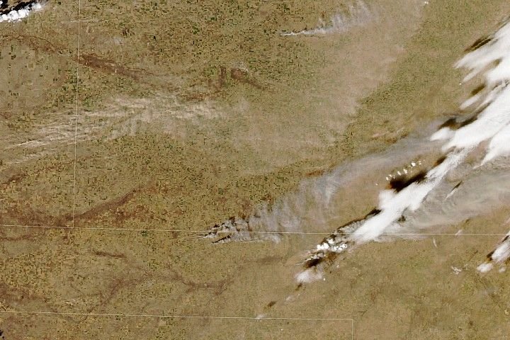
The Ides of March brought perilous weather to West Texas and the state’s Panhandle. A strong cold front blasted south across the arid plains on March 15, 2026, bringing stiff winds that stirred up a curtain of dust. The cloud of suspended particles slashed visibility and made for treacherous travel as it swept across the region. The high winds, coupled with dry conditions, also raised the risk of wildland fires.
The MODIS (Moderate Resolution Imaging Spectroradiometer) on NASA’s Aqua satellite captured this image of blowing dust on its march across Texas at about 4:45 p.m. Central Time (21:45 Universal Time) on March 15. An image acquired by the Terra satellite about 5 hours earlier shows the wall of dust when it was approximately 150 miles (240 kilometers) to the northeast.
Footage captured by a storm chaser shows visibility plummeting to nearly zero as the dense plume passed; similar conditions contributed to a multivehicle crash in North Texas. The National Weather Service also issued a Red Flag Warning for March 15 due to the combination of high winds, low relative humidity, and dry fuels. Several wildland fires ignited in the Panhandle, prompting evacuations, according to news reports.
Weather conditions took a sharp turn with the cold front’s passage. A weather station in Pecos recorded a high of 88 degrees Fahrenheit (31 degrees Celsius) at 4:30 p.m. local time on March 15, around the time of this image. Temperatures then dropped abruptly, hitting a low of 39ºF (4ºC) around 6 a.m. the next morning. Pecos saw sustained winds of about 25 miles (40 kilometers) per hour with gusts up to 40 miles (64 kilometers) per hour on March 15. Several stations in the Panhandle clocked gusts over 60 miles (97 kilometers) per hour.
Much of northern and western Texas has been experiencing moderate or severe drought, according to the U.S. Drought Monitor. Though dust storms are typical in the region this time of year, the lack of rain parches vegetation, dries the land, and increases the area’s susceptibility to these events.
NASA Earth Observatory image by Michala Garrison, using MODIS data from NASA EOSDIS LANCE and GIBS/Worldview. Story by Lindsey Doermann.
References & Resources
- Amarillo Globe-News (2026, March 16) Video of wildfires, dust storms forcing evacuations in Texas Panhandle. Accessed March 17, 2026.
- NASA Earth Observatory (2025, March 6) Storm Brings a Potpourri of Hazards to the U.S. Accessed March 17, 2026.
- NASA Earthdata (2026) Dust/Ash/Smoke. Accessed March 17, 2026.
- National Weather Service, Dust Storms and Haboobs. Accessed March 17, 2026.
- National Weather Service, via Iowa Environmental Mesonet (2026, March 14) Urgent – Weather Message. Accessed March 17, 2026.
- Texas Storm Chasers (2026, March 13) Texas Weather Roundup: Dangerous Fire Weather, Damaging Winds & Sharp Cold Front Sunday. Accessed March 17, 2026.
You may also be interested in:
Stay up-to-date with the latest content from NASA as we explore the universe and discover more about our home planet.
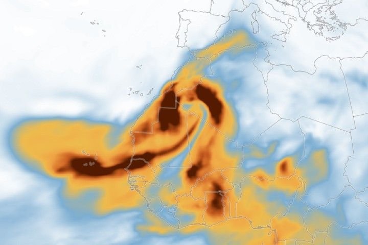
Clouds of dust lofted from the Sahara Desert brought hazy skies and muddy rain to Western Europe.
Dry, gusty conditions spurred fast-growing fires in Oklahoma and Kansas, along with dangerous dust storms across the region.
A blanket of snow spanned Michigan and much of the Great Lakes region following a potent cold snap.