The numbers coming out of climate science labs in late 2023 were genuinely unsettling. Researchers who’d spent entire careers studying ocean heat were running the same calculations twice, then a third time. Sea surface temperatures in parts of the tropical Pacific didn’t just break records. They obliterated them, by margins so wide that finding any useful historical comparison became nearly impossible. Some scientists started using the phrase “super El Niño” just to signal that normal framing wasn’t adequate anymore.
This wasn’t just another warm year. The event crossed thresholds that hadn’t been touched in the entire instrumental record, which stretches back well over a century. What happened, why it matters, and what it signals about where we’re headed deserves serious attention from anyone paying attention to the planet right now.
What Made This El Niño “Super”
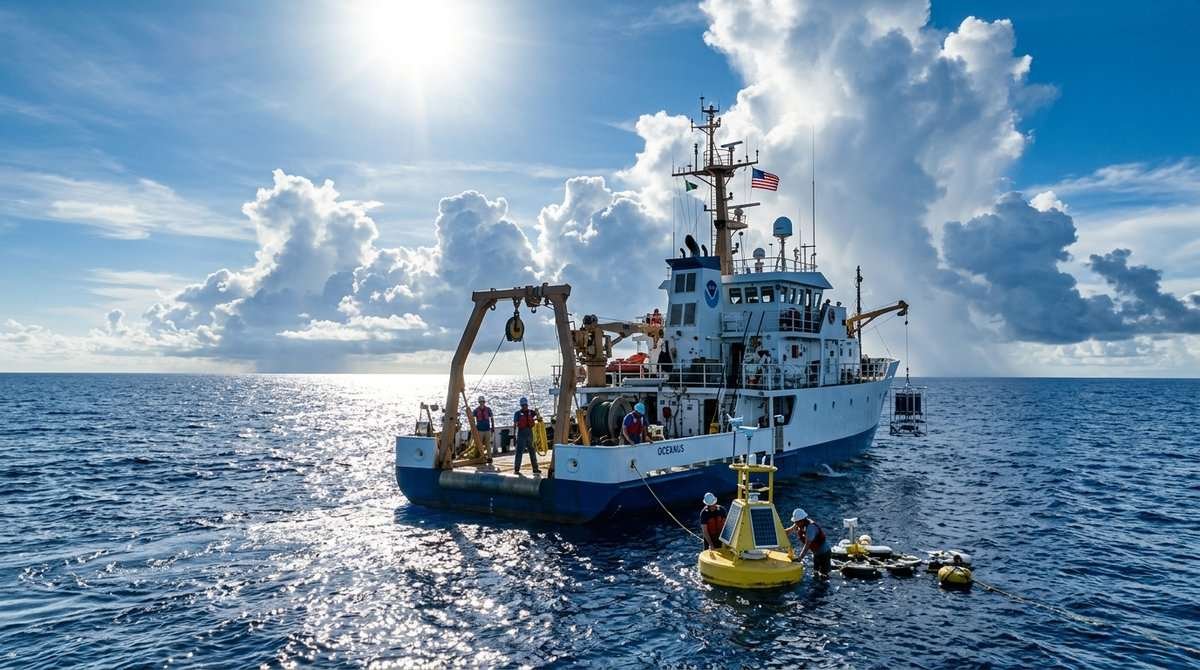
El Niño is a recurring climate pattern driven by warmer-than-average sea surface temperatures in the central and eastern tropical Pacific. It shows up every two to seven years and typically reshapes weather across much of the globe, bringing drought to some regions and flooding to others. But not all El Niño events are equal.
The 2023-2024 event intensified at a pace that was unusual even by recent standards. By late 2023, ocean temperature anomalies in key monitoring regions hit levels that pushed the event into “strong” or extreme territory. Researchers started using the “super” label informally, just to capture how far outside the norm this one really was.
Sea surface temperature anomalies in the Niño 3.4 region, the primary benchmark index, reached values not seen in the modern observational era. The baseline ocean was already running warmer due to long-term climate change, and the superimposed El Niño effect produced a compounding heat the climate system simply hadn’t experienced before, at least not on record.
According to data from NOAA and the European Centre for Medium-Range Weather Forecasts, global average surface temperatures during this event hit levels that climate scientists described as “remarkable.” February 2024 became the hottest on record, topping the 1.5°C pre-industrial warming threshold for that single month, a milestone that triggered widespread alarm among scientists and policymakers alike.
The Ocean’s Role: More Than Just Background Warming

One of the more sobering things this event revealed was the ocean’s current state. Oceans absorb roughly 90 percent of the excess heat that greenhouse gases trap. For decades that absorption worked as a kind of planetary buffer, slowing how fast surface warming showed up in daily life. Buffers, though, have limits.
Marine heat waves during 2023 were widespread and severe. The North Atlantic ran at temperatures so far above seasonal averages that scientists reached for phrases like “off the charts.” When El Niño then pushed Pacific heat into the mix, the combined signal was extraordinary.
This matters beyond the abstract. Coral reefs, marine food webs, and fisheries all depend on relatively stable ocean temperatures. The bleaching events triggered by the 2023-2024 marine heat were among the most geographically extensive ever recorded. Parts of the Great Barrier Reef experienced their worst bleaching on record, from a reef system that has now bleached five times in less than a decade. That’s not a streak; that’s a trend.
Ocean health is deeply intertwined with broader environmental pressures. Pollution compounds thermal stress on marine ecosystems, and the scale of unreported ocean pollution means the cumulative damage to marine systems is likely far larger than most public data suggests.
Global Weather Chaos: A Pattern With a Cause
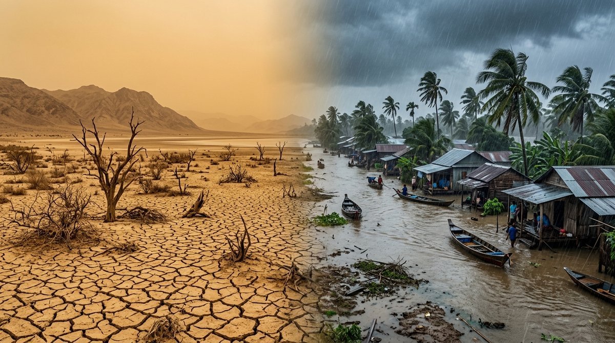
El Niño doesn’t just heat the ocean. It warps atmospheric circulation across the whole planet, pulling rain away from some regions, burying others in it, and parking intense heat over places that have no infrastructure to cope. The 2023-2024 event did all of that, and every continent felt it.
Parts of Brazil and Argentina recorded temperatures extreme enough to threaten human health and wipe out crops entirely. The record heatwave that hit South America was directly linked to El Niño compounding on an already warming continent. Farmers lost harvests they never recovered. Rainfall arrived at the wrong time or not at all, and those agricultural losses cascaded through regional food systems fast.
East Africa and parts of Southeast Asia, regions that depend on monsoon systems for water and power, faced serious disruptions. Reservoirs feeding hydroelectric plants ran dangerously low in countries with no spare capacity. Hundreds of millions of people absorbed the knock-on effects. Wildfire risk spiked wherever dry spells dragged on for weeks. These weren’t separate problems; each one fed into the next.
Climate Change and El Niño: A Dangerous Partnership
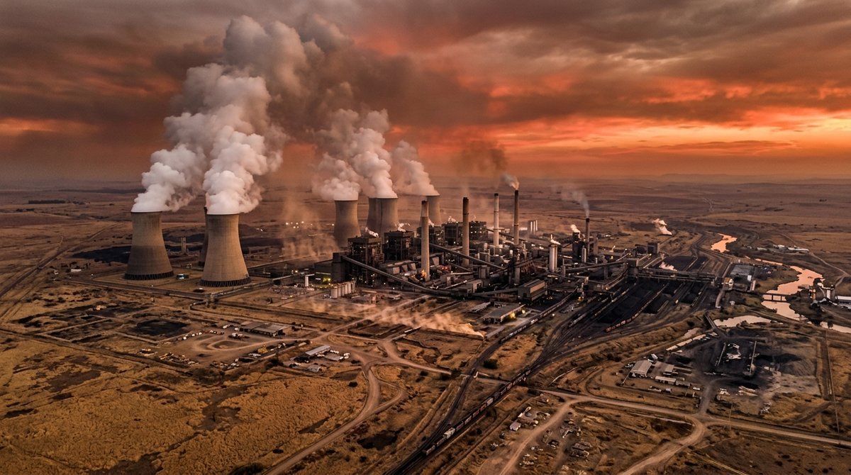
Here’s the context that sets this event apart from historical El Niños: decades of fossil fuel emissions gave this one a head start. Natural variability was running on top of a baseline that’s now significantly warmer than the pre-industrial world.
Climate scientists use the analogy of loading the dice. El Niño has always been capable of producing extreme outcomes, but climate change loads those dice toward the high end every time. What might have been a strong El Niño in 1990 becomes a record-breaker in 2024 because the baseline has shifted so dramatically.
That dynamic has serious implications for how we model and prepare for future events. Climate projections suggest that as global average temperatures keep rising, the most intense El Niño events will produce outcomes we currently consider unprecedented. Planning infrastructure, agriculture, and disaster response around historical averages is increasingly insufficient.
It also raises uncomfortable questions about emissions trajectories. Research showing that the world’s richest 1% have already burned through their fair share of emissions for 2026 underscores just how inequitable the burden of climate disruption remains.
What Comes After: La Niña and the Reset That Isn’t
El Niño events are typically followed by La Niña, the opposing phase of the same climate oscillation, which brings cooler-than-average Pacific temperatures and its own global weather disruptions. That transition was already underway by mid-2024, with forecasters expecting La Niña conditions to influence weather patterns into 2025.
La Niña cools things relative to the El Niño peak, but it doesn’t undo the underlying warming trend. Global average temperatures during La Niña years are still higher than they were in El Niño years just a few decades ago. The oscillation continues; it just oscillates around a higher center point. That’s the part that doesn’t reset.
For anyone tracking this carefully, the 2023-2024 super El Niño functions as a preview of what a warmer baseline actually means for extreme events. We watched it happen in real time: temperature records, coral bleaching, wildfires, drought, floods. The honest read from the scientific community is that without serious, sustained reductions in greenhouse gas emissions, events like this will stop seeming remarkable simply because they’ll stop being rare.
The conversation about how we respond spans technology, policy, and individual behavior. New tools for monitoring emissions, like satellite systems being developed to detect superpollutants from space, are part of that picture. So is the harder work of reforming energy systems, land use, and consumption patterns at scale.
Frequently Asked Questions
What is a “super El Niño” and how is it different from a regular one?
The term “super El Niño” isn’t an official meteorological classification, but it’s used to describe events where sea surface temperature anomalies in the tropical Pacific reach exceptional levels, typically exceeding 2°C above average across key monitoring regions. The 2023-2024 event qualified because it pushed beyond historical records, fueled partly by the already-warmer baseline ocean temperatures caused by long-term climate change.
Did the super El Niño break an all-time climate record?
Yes. Global average surface temperatures during the event exceeded previous records by measurable margins. February 2024 broke every prior monthly global temperature record in the instrumental data set, with multiple agencies confirming the readings independently.
How does El Niño interact with human-caused climate change?
El Niño is a natural climate oscillation, but it operates on top of a warming baseline driven by greenhouse gas emissions. The peak temperatures reached during an El Niño event are now higher than they would have been in a cooler pre-industrial climate. The two effects combine and amplify each other during peak phases.
What regions were most affected by the 2023-2024 event?
- South America, where record heat waves triggered drought and crop failures
- The Great Barrier Reef and Indo-Pacific, where marine heat waves caused mass coral bleaching
- East Africa, where disrupted rainfall patterns affected food and water security
- Parts of Southeast Asia, where monsoon variability reduced hydroelectric output
Will El Niño events get worse with climate change?
The scientific consensus is that while the frequency of El Niño events won’t necessarily increase, the most intense events are likely to become more extreme as the global baseline temperature rises. Peak temperature anomalies, extreme weather consequences, and ecological damage will all be amplified in future events.
What’s the difference between El Niño and La Niña
El Niño involves warmer-than-average sea surface temperatures in the central and eastern tropical Pacific, while La Niña is the opposite phase, featuring cooler-than-average temperatures in the same region. Both phases disrupt atmospheric circulation and trigger distinct weather patterns globally, but neither resets the long-term warming trend caused by emissions.
How does ocean temperature affect everyday weather patterns?
Ocean temperatures drive atmospheric moisture and circulation. Warmer ocean surfaces pump more water vapor into the atmosphere, intensifying storms, shifting precipitation patterns, and altering jet streams. During El Niño, these effects are concentrated and amplified, producing the kinds of widespread weather extremes seen during the 2023-2024 event.
What can be done to reduce the impact of future El Niño events?
- Reducing greenhouse gas emissions to slow the long-term warming that amplifies each event
- Investing in early warning systems and climate-resilient infrastructure
- Protecting and restoring ecosystems like coral reefs and forests that buffer climate extremes
- Supporting international climate finance to help vulnerable nations adapt
Sources
- NOAA Climate Prediction Center: El Niño/La Niña Advisory Reports, 2023-2024
- European Centre for Medium-Range Weather Forecasts (ECMWF): Copernicus Climate Change Service monthly bulletins
- World Meteorological Organization: State of the Global Climate 2023
- NASA GISS Surface Temperature Analysis (GISTEMP), 2024
- Australian Institute of Marine Science: Great Barrier Reef bleaching assessments, 2024
This article is for informational purposes only.
Reference: https://www.carbonbrief.org/analysis-super-el-nino-reaches-remarkable-all-time-record
The post Analysis: ‘Super El Niño’ breaks ‘remarkable’ all-time record appeared first on Green.org.