It’s been another one of those springs, cold and wet. It was cold for sure but how wet depends are where you are.
Temperature data is easy to access and generally consistent across wide areas of the province, but rainfall is far more variable – and far more important at the farm level since water is the most yield limiting factor to crop production.
Why rainfall is so hard to pin down
Even within a single 100-acre field, rainfall totals can differ significantly from one end to the other. While rain gauge placement can influence readings, most of this variability reflects the nature of precipitation itself.
Rainfall patterns are also changing. Instead of the slower, steady light rains that once delivered consistent moisture over one or two days across a wide area, producers are increasingly dealing with short, intense, and highly localized events.
These bursts are often less effective for crop needs, complicating decisions around planting, nutrient management, and crop protection. As a result, relying on generalized weather data is becoming less useful for practical, field-level management.
Plenty of data, but it’s siloed
Across Ontario, there is no shortage of rainfall data being collected. Farmers, agribusinesses and organizations are all measuring precipitation in various ways. The challenge is that these data sources are largely disconnected (islanded) and not widely shared, limiting their overall value.
For farm operators and those in the supply chain, this represents a missed opportunity to improve decision-making with better localized insight. Farmers should be installing numerous rain guages around their farms if there is any distance between their fields to understand how variable the rainfall actually is in their area.
How CoCoRaHS fills the gap
One practical way to address this gap is through the CoCoRaHS network — the Community Collaborative Rain, Hail and Snow Network.
This volunteer-based system across North America brings together individuals who install standardized rain gauges and commit to recording and submitting daily precipitation measurements. The process is straightforward: participants purchase an approved gauge, complete a short training module, and report their observations online each day. The more people involved in collecting and reporting rainfall data locally, the more valuable and useful the data becomes. There is a large network of sites.
| Buy an approved, standardized rain gauge |
| Complete a short online training module |
| Record and submit your rainfall reading online each day |
| View near-real-time precipitation maps, zoom to any site, and track daily or historical trends |
| Pull reports to support crop insurance claims or agronomic planning |
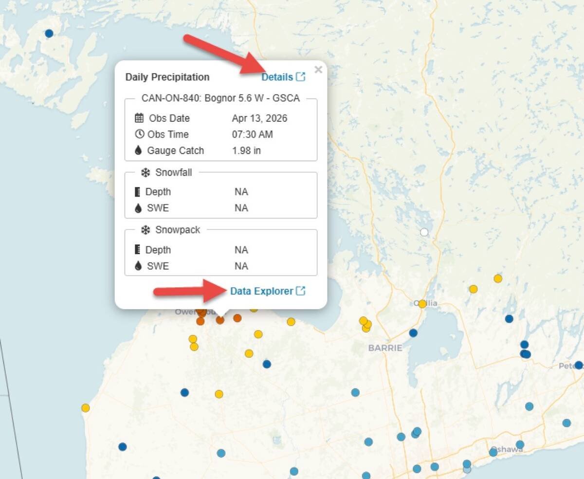
For producers, agronomists, and farm supply businesses, the value of this network lies in the near real time access it provides to detailed, site-specific rainfall information. Users can view near real-time precipitation maps, zoom in on individual locations, and analyze daily and historical trends. The system also allows users to generate reports that can support activities such as crop insurance claims or agronomic planning.

Why more reporters make it better
More importantly, broader participation strengthens the network. As more observers contribute data, the accuracy and usefulness of regional rainfall insights improve. This has direct implications for farm supply and service providers, who can use this information to better time recommendations, anticipate customer needs, and provide more precise, data-driven support. It also allows farmers to quickly plan a days work by seeing where rainfall has or has not occurred locally.
In a production environment where weather variability continues to increase, access to reliable, localized rainfall data is becoming a competitive advantage. Strengthening networks like CoCoRaHS — and encouraging participation across the agricultural community — offers a practical way to improve resilience and decision-making at both the farm and business level. Over the long term we need to additionally connect these many islanded automated weather networks operating across Ontario to further intensify access to reliable, accurate rainfall data for all.
Getting started
If you decide to get more engaged in rainfall recording some important things to consider is gauge type, placement and management. There are lots of resources on line to help you make the best of your rainfall data collection.
Weather is one of farmers’ favorite topics, so let’s get more involved in collecting rainfall data that we all can make use of. What does CoCoRaHS look like as a rainfall reporter?
Visit about CoCoRaHS Canada to read about the network.
Ian McDonald is OMAFA’s crop innovation specialist and Christine Brown is OMAFA’s sustainability
specialist for field crops.
The post Rainfall is your No. 1 yield-limiting factor. Why guess at it? appeared first on Farmtario.


