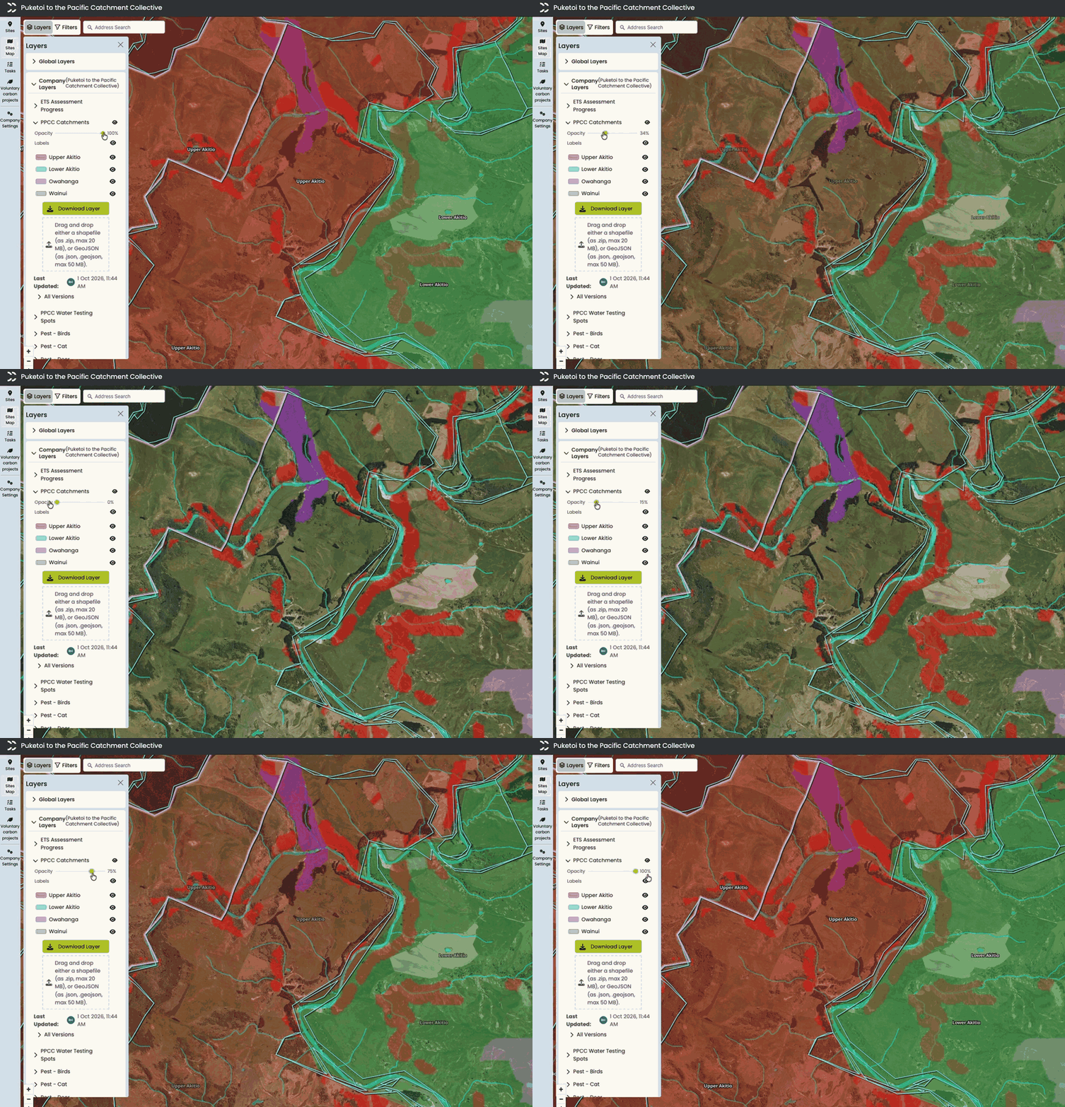
Last month your layer colours started sticking around, and this month we’ve made them mean something. Vector layers can now show labels on the map, with a switch to turn them on and off, and raster layers can have legends and colour ranges. Plus Match any tag filtering, notifications when you’re tagged in site comments, Forest Changes shapefile updates and faster split and reshape on large sites.