
Something significant is brewing in the Pacific Ocean, and it’s not getting nearly enough attention given everything else competing for headlines right now. Climate scientists and oceanographers have been watching a familiar set of signals emerge over recent months, signals that suggest the global climate system may be gearing up for another major El Niño event. And not just any El Niño. Some forecasts are floating the possibility of a record-breaking one, potentially arriving later in 2026 and peaking into early 2027.
That’s a big claim. And like most big claims in climate science, the reality is more nuanced than any single headline can capture. So let’s dig into what the science is actually saying about El Niño 2026, what a strong event could mean for the planet, and why even a moderate one should have us paying close attention.
What’s happening in the Pacific right now
For the past couple of years, the Pacific has been locked in a La Niña phase – the cooler, quieter sibling of El Niño. Stronger-than-usual trade winds push warm surface water westward, allowing cooler water to well up from below in the eastern Pacific. But that pattern is breaking down. According to the latest outlooks from NOAA and other major forecasting centres, La Niña conditions are weakening and the system is transitioning.
What makes the current situation particularly notable is what’s happening beneath the surface. Scientists have identified a large pool of unusually warm water sitting below the ocean in the western Pacific. That stored heat can travel eastward in the form of Kelvin waves, pulses of warm water that move along the equator. When those waves reach the eastern Pacific, they can trigger and significantly amplify El Niño conditions at the surface.
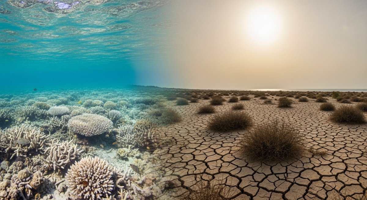
The question isn’t really whether El Niño is coming. Most forecasters agree it is. The question is how strong it gets, and what that means for weather patterns, food systems, and global temperatures. This matters especially because, as recent data shows, ocean temperatures already reached another record high in 2025, meaning any new El Niño event is launching from a higher baseline than ever before.
Could this actually be the strongest El Niño in history?
Some outlets have been running with phrases like “super El Niño” and “record-breaking event.” That language grabs attention, and it’s not entirely without basis. But it’s also running ahead of what the science can confidently confirm at this stage.
Here’s the honest picture. Yes, there is a credible risk that El Niño 2026 could become a strong event. Ocean conditions, historical patterns, and multiple model forecasts all point in that direction. But there’s a well-known problem in climate forecasting called the “spring predictability barrier.” During the northern hemisphere spring, the Pacific system becomes especially difficult to model accurately, making confidence intervals much larger.
Right now, we’re sitting in exactly that window. So while the worst-case scenarios are scientifically plausible, they’re not high-confidence predictions. The system could develop into something truly extreme, or it could turn out to be moderate. Honest forecasters are holding both possibilities open.
For context, the strongest El Niño events on record occurred in 1997 to 1998 and 2015 to 2016. Both triggered widespread disruption across agriculture, water systems, and public health. A comparable or stronger event arriving in an already warming world would be a serious escalation.
Why global warming makes every El Niño more dangerous
This is the part of the story that doesn’t always make it into the headlines, but it might actually be the most important. Even if the El Niño 2026 event turns out to be moderate rather than record-breaking, it’s still happening inside a climate system that is fundamentally different from the one that hosted previous El Niños.
El Niño events release heat stored in the ocean back into the atmosphere, effectively supercharging whatever warming trend is already in place. During 2015 to 2016, that mechanism helped push global average temperatures to what were then record levels. A strong El Niño peaking in late 2026 could make 2027 one of the hottest years ever recorded.
Historical analogues don’t fully apply anymore. When we look back at past El Niño events to understand what a similar one might do in 2026 or 2027, we’re comparing to a world with lower baseline temperatures and different ocean heat content. January recently shattered global temperature records, adding to a string of months and years that keep breaking what came before. Each new El Niño event has a higher floor to start from.
Regional impacts: who gets hit hardest
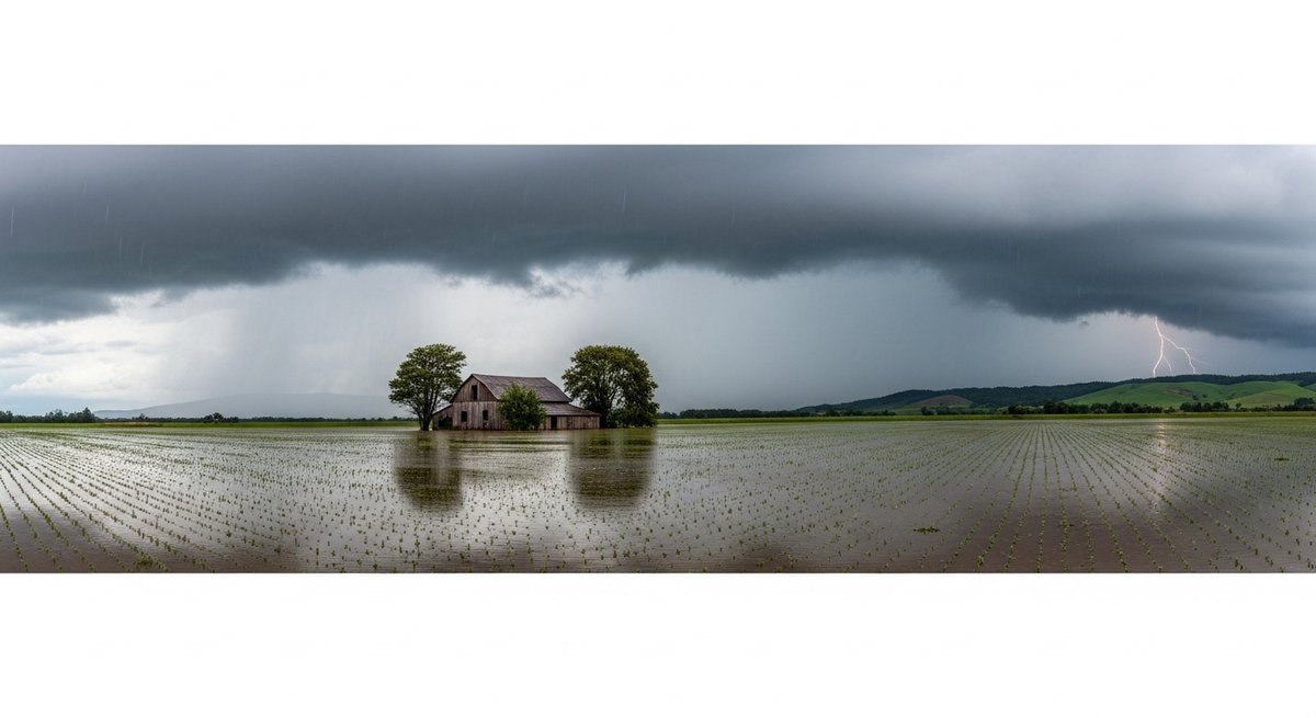
El Niño doesn’t produce one uniform effect across the planet. It reshuffles the deck of energy in the climate system, meaning different regions experience very different outcomes. Some areas get drier. Some get wetter. Some face more intense tropical storms.
South America tends to experience some of the most dramatic swings during El Niño years. Severe droughts can devastate parts of the Amazon and agricultural regions, while unusual flooding affects other areas. This kind of volatility has already been a growing concern for the continent, as shown by recent events that triggered urgent calls for climate action after record heatwaves hit the region.
In Europe, some forecasts have raised the possibility of intense summer heat, particularly across Spain and the Mediterranean. The UK Met Office has noted that El Niño can influence European weather patterns, but the final outcome depends heavily on how it interacts with other climate drivers like the North Atlantic Oscillation – too uncertain to predict confidently at this stage.
Agriculture is one of the sectors most directly exposed. Shifts in monsoon timing, drought across major crop-producing regions, and flooding in others can cascade through global food supply chains in ways that affect prices and food security worldwide. Water systems face similar pressure. El Niño-driven droughts can reduce reservoir levels, affect hydroelectric generation, and stress freshwater supplies – all compounding the broader trajectory of water stress from climate change.
The climate system under multiple stressors
One of the things that makes the El Niño 2026 forecast more unsettling than past forecasts is the context it sits in. This isn’t just a single oscillation cycling through a stable background climate. We’re talking about an event unfolding inside a system simultaneously dealing with record ocean heat content, disrupted atmospheric circulation patterns, declining sea ice, and greenhouse gas concentrations still rising year after year.
These stressors interact in ways that are genuinely difficult to model, and their effects can amplify each other non-linearly. The broader picture of emissions reduction progress matters here too. The pace of clean energy deployment, while encouraging in some regions, faces headwinds – signalled by concerns that global solar additions may fall for the first time in 2026, underlining how difficult it remains to accelerate the clean energy transition fast enough.
What all of this means is that even a moderate El Niño is now more consequential than a moderate event would have been twenty years ago. The threshold for what constitutes a dangerous outcome has shifted because the baseline has shifted.
What to watch for in the months ahead

The coming months will tell us a lot more about how serious El Niño 2026 is going to be. Sea surface temperatures in the central and eastern Pacific are the primary thermometer. Kelvin wave activity is another key metric – strong or repeated waves propagating eastward suggest more heat is being delivered to the surface system. Trade wind patterns matter too, as a weakening of the trade winds accelerates El Niño development.
By mid-summer 2026, forecasters should have significantly more confidence about the likely strength of the event. The spring predictability barrier will have passed, and model consensus will hopefully tighten. Either way, now is the time for governments, agricultural planners, water utilities, and emergency management agencies to begin scenario planning. The cost of over-preparation for a moderate El Niño is far lower than the cost of under-preparation for a severe one.
Frequently asked questions about El Niño 2026
What is El Niño and why does it matter?
El Niño is the warm phase of the El Niño-Southern Oscillation (ENSO) cycle, a natural climate pattern driven by changes in Pacific Ocean temperatures and atmospheric circulation. It matters because:
- It can significantly boost global average temperatures by releasing stored ocean heat into the atmosphere
- It shifts rainfall patterns, causing droughts in some regions and flooding in others
- It affects tropical storm activity across multiple ocean basins
- It disrupts agricultural production and water availability, sometimes triggering food insecurity crises
Is El Niño 2026 confirmed as a record-breaking event?
Not yet. Forecasters agree that an El Niño is likely to develop during 2026, but the eventual strength is still uncertain. There is a plausible pathway to a strong or very strong event, but moderate outcomes remain possible too. Confidence will increase significantly by mid to late summer 2026.
How does global warming affect El Niño events?
Global warming raises the baseline temperature of the ocean and atmosphere before an El Niño even begins. When an El Niño then releases additional heat, it does so from a higher starting point, meaning temperature extremes are more likely to break records. Historical El Niño analogues are also becoming less reliable guides because the climate system itself has changed significantly.
Which regions are most at risk from El Niño 2026?
- South America, particularly areas dependent on Amazonian rainfall and agricultural zones prone to drought
- Southeast Asia and Australia, which often experience drought conditions during strong El Niño events
- Parts of Africa, especially eastern regions, where El Niño can alter monsoon dynamics
- The southern United States, which can experience wetter winters during El Niño years
- Europe’s southern regions face elevated risk of intense summer heat, though predictions remain uncertain
How could El Niño 2026 affect global food security?
A strong El Niño can disrupt crop production across multiple major agricultural regions simultaneously. Droughts in South America, Southeast Asia, and parts of Africa can reduce harvests of staple crops, tightening global supplies and pushing prices higher. Communities already experiencing food stress face the greatest risk, and cascading effects through supply chains can be felt globally even in regions not directly affected by extreme weather.
Could El Niño 2026 make 2027 the hottest year on record?
It’s a genuine possibility. Strong El Niño events typically boost global average temperatures in the year following their peak. The 2015 to 2016 event helped make 2016 the hottest year on record at that time. If a strong El Niño peaks in late 2026 or early 2027, and given that the background climate is already warmer than it was in 2016, 2027 could potentially exceed all previous temperature records. However, this depends on the event actually developing into a strong El Niño, which is not yet confirmed.
When will we know more about how strong El Niño 2026 will be?
The clearest signals should emerge by mid-summer 2026. The spring predictability barrier will have passed by then, and monitoring of sea surface temperatures, Kelvin wave activity, and trade wind patterns will provide much firmer guidance on the likely strength and trajectory of the event.
This article is for informational purposes only.
Reference: https://www.youtube.com/watch?v=0iclm3G_sho
The post El Niño 2026 : Will this one be the STRONGEST in recorded history? appeared first on Green.org.


